|
||
|
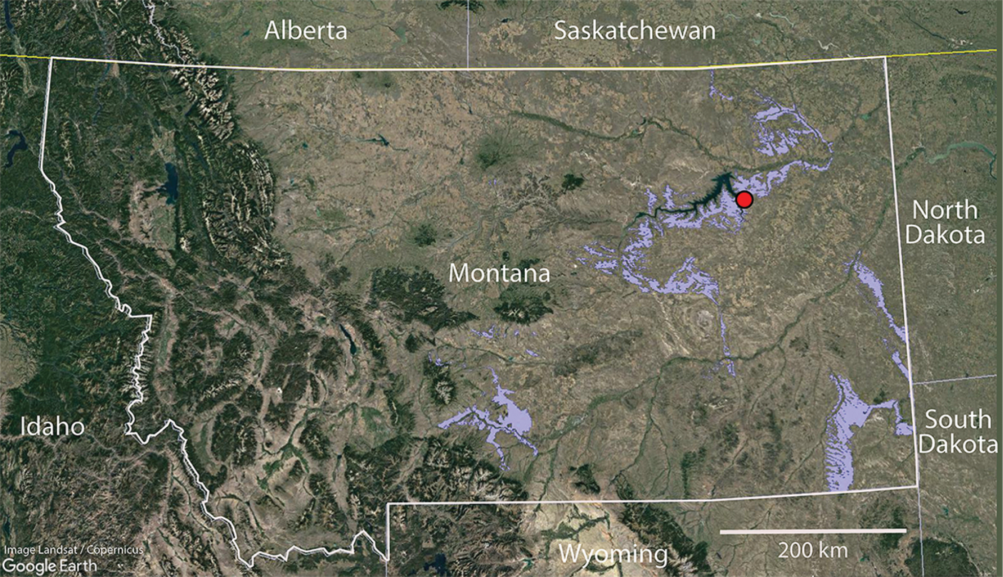
Index map of locality V-1994096 in the Hell Creek Formation, northeast Montana. Blue areas indicate Hell Creek Formation exposures in Montana and the red dot indicates the Bug Creek Anthills assemblage. Base satellite map generated with Google Earth V 7.3.4.8248. (March 20, 2022). Montana, United States. Camera: 929 km, 46°54'58"N, 109°48'21"W. Landsat/Copernicus 2022. http://www.earth.google.com [20 March 2022]. |